Categories
Non-Profit OrganizationsAttractionsEntertainment & Recreation
Driving Directions:
Trailhead is in a gravel parking lot just off the junction of US Hwy 75 & MN Hwy 23 across from Casey's General Store in Pipestone.
About Us
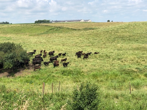
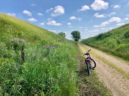
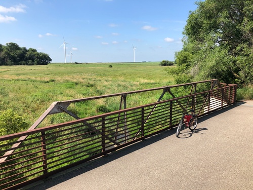
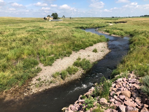
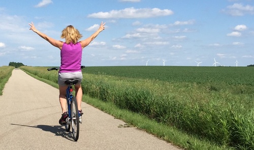
Locals and visitors alike love the tranquility of this trail! Miles 1-4 breeze through fields of corn and soybeans offering 180 degrees of sky. After a bridge within the first mile, a shaded bench begins mile 2 and finishes with a close-up view of a solar farm. Mile 4 gives the first glimpses of wind turbines. Another shaded, quiet creek and bridge finishes mile 4. See if you can spot the remainders of an old windmill just North of the bridge! “Cattle Country” and the Rock River highlight miles 5-8. The last 2+ miles to Woodstock are now paved! It takes you between wind turbines and offers an Eastern horizon dotted with 300 ft turbines atop the dividing line between the Missouri & Mississippi Rivers, known locally as “Buffalo Ridge.”
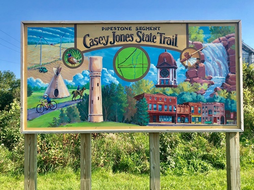
The 13-mile, multi-use trail begins near the intersection of MN Hwy 23 and US Hwy 75 on the Northeast side of Pipestone. The paved trail is great for running, walking, biking, and roller-blading. Additionally, there is a naturally-surfaced trail which parallels the paved section for horses and snowmobiles. Motorized vehicles, other than snowmobiles, are not allowed. Because much of the trail lies on former railroad grade, it is named for the famed American railroad engineer, Casey Jones.
The Friends of the Casey Jones Trail advocate for the development of the Casey Jones State Trail and maintenance of the existing trail. Their website is www.caseyjonestrail.org.
Highlights
Images


